How to get there?

Catalog of tourist facilities
Choose a category if you want to narrow the displayed list of objects:

Choose a category if you want to narrow the displayed list of objects:

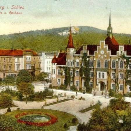
The beginnings of Wałbrzych date back to the 12th century. In 1305, it was mentioned for the first time in writing, although still as a parish named Waldenberc, remaining a property of the Duchy of Świdnica-Jawor. However, according to the chronicler from Świdnica – Ephrain Ignatius Naso – a forest settlement existed here as early as in 1191. The name of the town was supposed to have been derived from pilgrimages to the wooden church with the therapeutic water spring, located on the hill, or an old settlement in the woodlands.

The Mieroszów Commune owes its uniqueness to its fascinating and often stormy, history. The peculiar location at the meeting point of Polish, Czech and German influences sculpted the most important historical events and set the development trends of the region.

The Walim Commune is located in the Central Sudetes at the foot of the Góry Sowie Mountains and in the picturesque valley of the Walimka River, south-east from Wałbrzych. It extends over approximately 79 square kilometres. The highest point of the commune is the Wielka Sowa peak, at the elevation of 1015 meters above sea level. The Bystrzyca River is the most important watercourse that crosses the area.